Main-Land Development Consultants
Land Surveying in Maine
About Main-Land Land Surveying
Welcome to Main-Land Development, your go-to resource for land surveying services in Maine. As a reputable land surveying company, we take pride in offering our clients professional and reliable services to ensure the successful completion of their land development projects.
Land surveying is a crucial aspect of land development that involves the measurement, mapping, and analysis of land features and boundaries. It is essential for property owners, developers, architects, and engineers who are planning to build, develop or renovate properties to have an accurate understanding of the land they intend to use.
Land Surveying Services
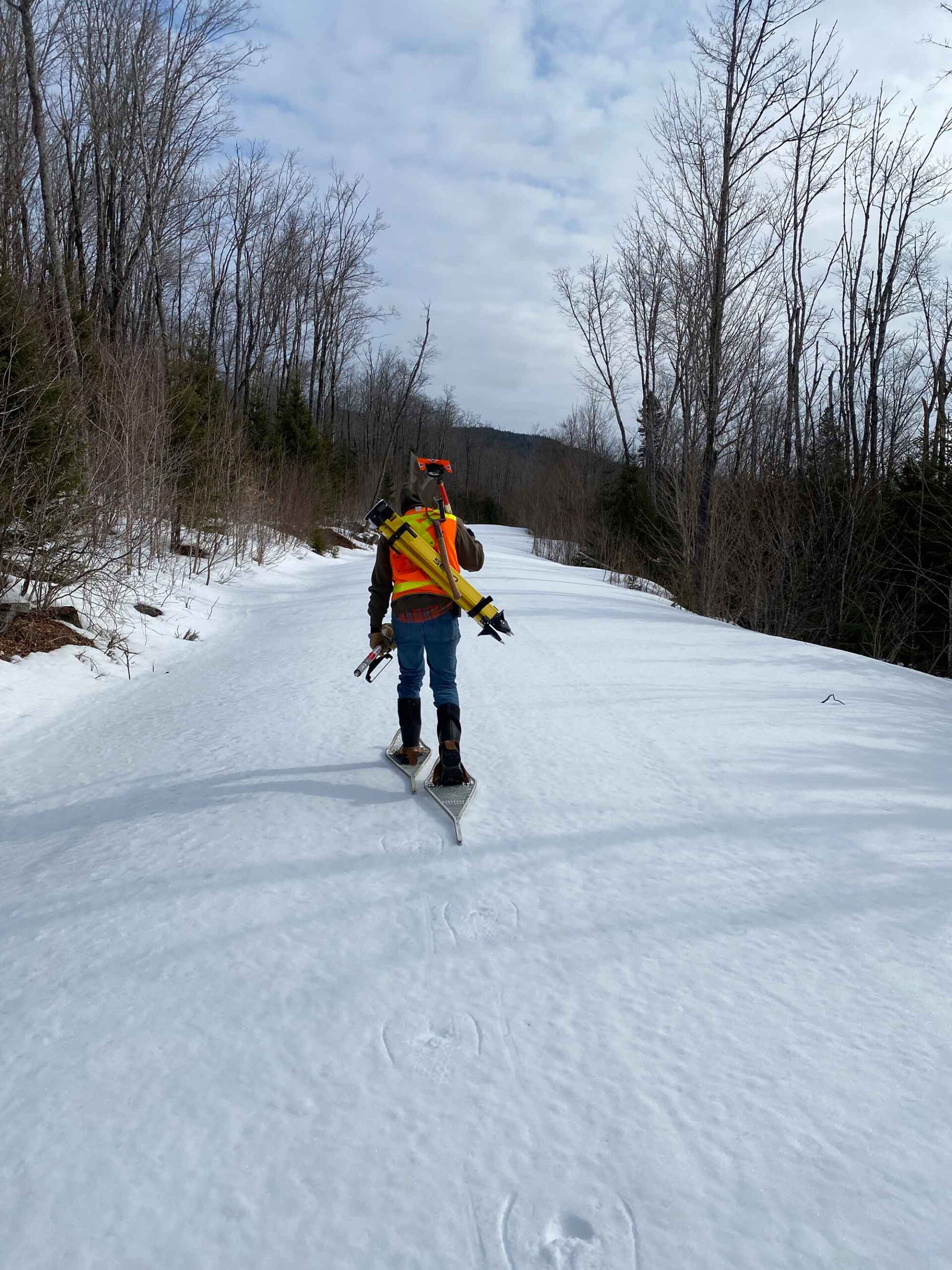
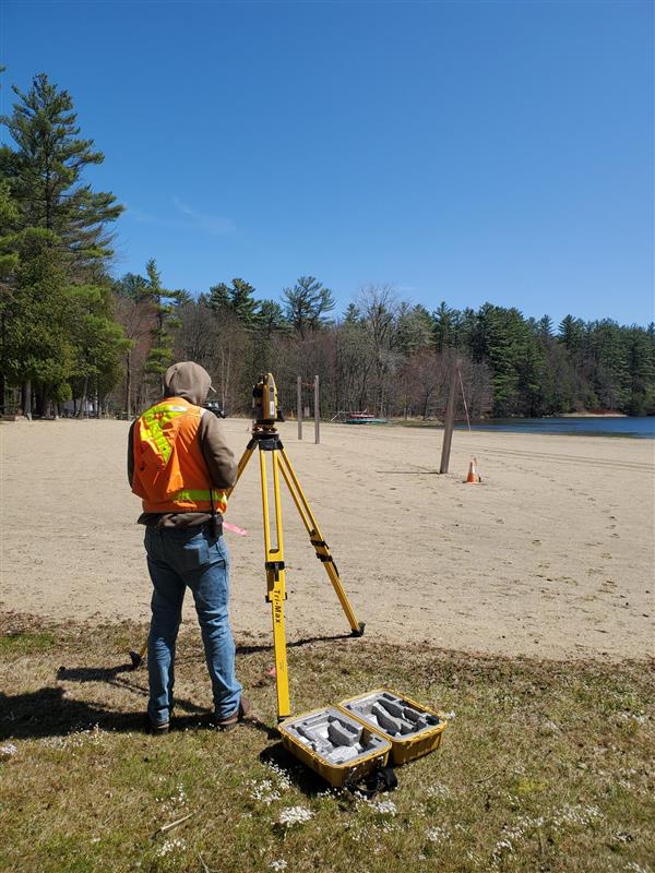
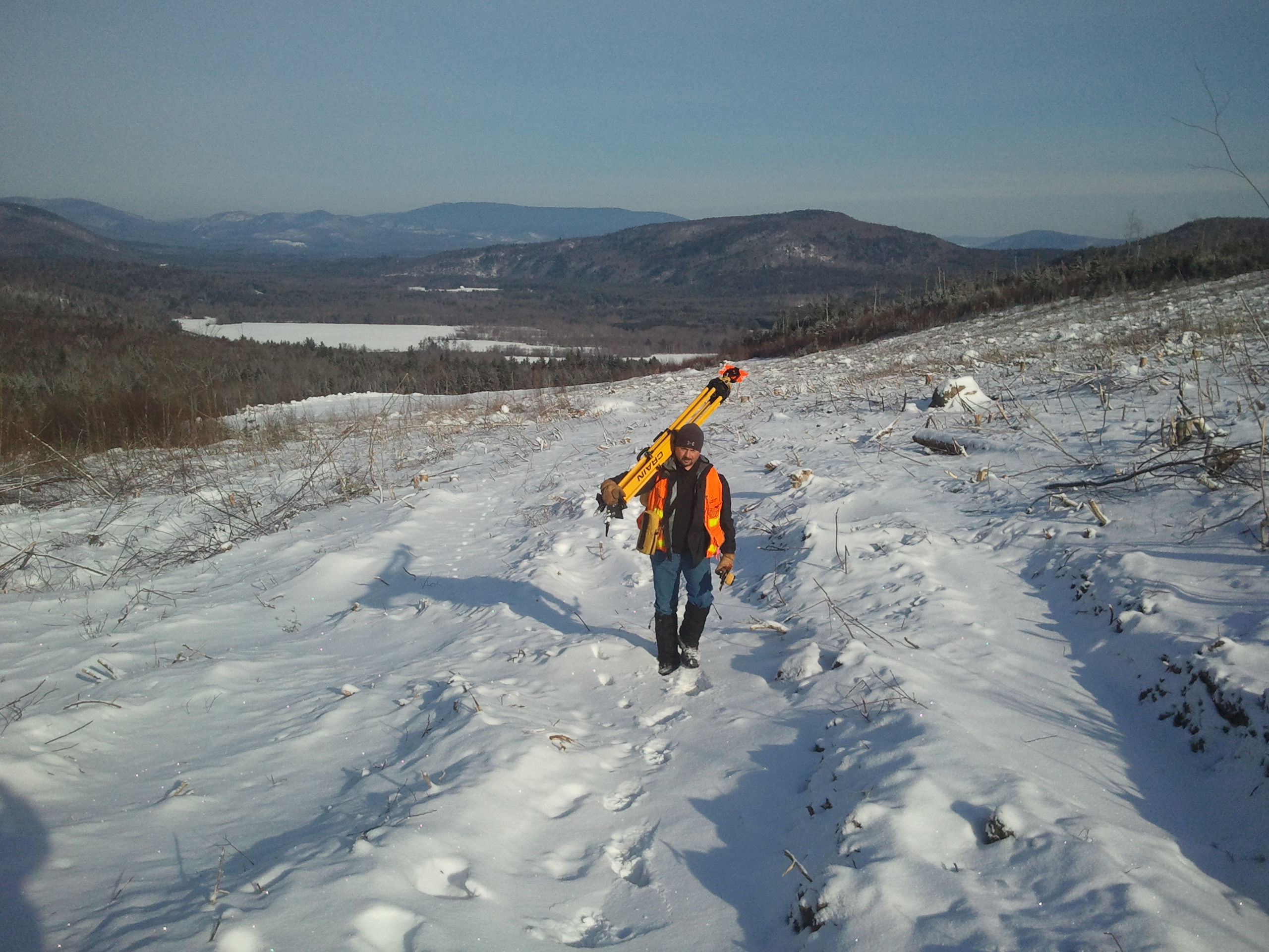
At Main-Land Development, we specialize in a wide range of land surveying services, including boundary surveys, topographic surveys, construction staking, ALTA/NSPS surveys, and GPS surveys. We use state-of-the-art equipment and technology to deliver high-quality results and meet our clients’ needs.
Boundary surveys are one of our core services, and they help to establish the boundaries of a piece of land. The survey involves measuring the property’s perimeter, identifying any encroachments, and preparing a detailed report that outlines the property’s legal boundaries. A boundary survey is essential for property owners who want to ensure that they are not encroaching on their neighbor’s property or to settle boundary disputes.
Topographic surveys, on the other hand, help to identify the natural and man-made features of a piece of land. These surveys provide valuable information about the land’s elevation, contours, and drainage patterns, making it easier for developers to plan and design their projects.
Construction staking is another service that we offer, and it involves marking out the precise location of proposed structures on a site. This service is essential for builders and contractors who need to ensure that their construction projects are accurately positioned on the property.
ALTA/NSPS surveys are a comprehensive type of survey that provides detailed information about a property’s boundaries, easements, and encroachments. These surveys are typically used for commercial properties and provide valuable information to potential buyers and lenders.
Finally, GPS surveys are a fast and efficient way to measure large areas of land. Our team of experienced surveyors uses advanced GPS technology to provide precise and accurate measurements that are essential for large-scale land development projects.
At Main-Land Development, we understand the importance of accurate land surveying and its impact on the success of your land development project. Our team of experienced and licensed surveyors is committed to delivering reliable and efficient services to our clients. Contact us today to learn more about our services and how we can help you with your land development project.
we are good at what we do
Are you buying, selling, or improving your land?
Land is a valuable commodity and Main-Land understands this. For many years, Main-Land has operated throughout the great state of Maine. With our new Falmouth office now open, we can provide a boundary survey for you those living in southern part of the state more quickly.
With the knowledge and expertise required, Main-Land has the capability of fielding multiple crews and getting the job done quickly and efficiently. We employ Multiple Professional Land Surveyors (PLS) who are certified by the State of Maine to conduct land surveys in the state. Our knowledgeable professionals will collaborate with you to understand your land’s boundaries, locate monuments, and perform calculations to give you a blueprint of your property.
Watch our Land Surveying Video:

we aren't afraid of trying new things
Main-Land Survey and Resource Mapping can help you with these services:
The techniques and difficulties of surveying in Maine are distinctive. After all, with Portland being one of the most historic cities in the US, and records dating back for centuries, it’s important to have a competent surveying company like Main-Land to get the job done right.
Main-Land has the experience to work with complex boundary jobs our crew has conducted surveys in Maine for many years, and they are available to assist you!
Call Main-Land or submit the survey work request form. You’ll hear from us soon!
– Site Feasibility
– Base mapping
– Boundary Surveying
– Natural Resources Delineations
– Functions and Values
– Geotechnical and Geohydrological Analysis
– High Intensity Soil Surveys
Request a Surveying Quote
Go ahead and enter your contact information. We won’t share it without your permission. Expect an email soon!

“We love to help people understand their land. Whether you need a boundary survey, ALTA, or want to divide your lot, we’re here to serve.”